
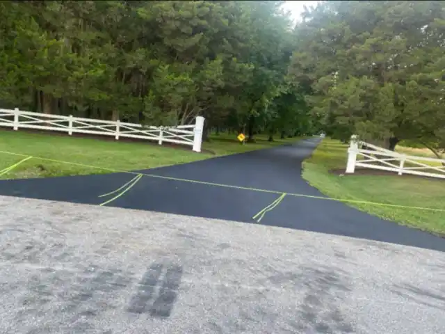
Asphalt Driveway Paving in Tracys Landing, MD
South State Paving is a family-owned asphalt paving company in Deale, about 2.6 miles from Tracys Landing in a straight line, run by fourth-generation paver George Cooper. Driveway replacement, new driveways, resurfacing, sealcoating and repairs. MHIC #05-169105. Free estimates.
Free Estimate: (410) 212-8084What's under driveways in Tracys Landing
Tracys Landing is not a Census place, so the data covers its ZIP code, 20779.
| Soil | Share | Drainage | USDA rating for local roads |
|---|---|---|---|
| Marr | 35% | Well drained | Somewhat limitedFrost action |
| Dodon | 29% | Moderately well drained | Somewhat limitedDepth to saturated zone, Frost action, Slope |
| Widewater | 9% | Poorly drained | Very limitedDepth to saturated zone, Flooding, Frost action, Ponding |
| Issue | 9% | Somewhat poorly drained | Very limitedDepth to saturated zone, Flooding, Frost action |
The USDA soil survey maps the ground in the 20779 ZIP code mostly as Marr (35%), Dodon (29%) and Widewater (9%), based on 25 points sampled across the area.
Of the sampled points, 2% fell on ground the survey maps as urban land, which it does not rate and 18% fell on water or submerged soils; those are left out of the percentages.
For local roads and streets, the survey rates Widewater and Issue "very limited", citing depth to saturated zone, flooding, frost action and ponding.
For local roads and streets, the survey rates Marr and Dodon "somewhat limited", citing frost action, depth to saturated zone and slope.
Widewater (poorly drained) and Issue (somewhat poorly drained) are classed as poorly drained or wetter.
Why it matters: the Colorado Asphalt Pavement Association says soil type and drainage should be checked before any driveway advice is given (brief).
Flood zones in Tracys Landing
FEMA's flood map puts 2 of the 21 land points sampled in the 20779 ZIP code (10%) in a Special Flood Hazard Area, the zone with a 1% annual chance of flooding. By zone: zone X (19), zone A (1) and zone AE (1).
Tracys Landing at a glance
- County: Anne Arundel County, MD
- Land area of the 20779 ZIP code: 6.8 square miles
- Straight-line distance from South State Paving in Deale: about 2.6 miles
Driveway permits in Tracys Landing
Anne Arundel County's Department of Public Works says a Residential Driveway Access Permit is required for any modification or new installation of a residential entrance onto a County road, with or without replacing curb and gutter. Anne Arundel County Department of Public Works.
On a state road, the entrance needs a Maryland State Highway Administration permit (SHA guidelines).
Some of the sampled points in Tracys Landing fall on water. Land within 1,000 feet of tidal water is in the Chesapeake Bay Critical Area, where lot coverage is limited (Maryland DNR).
Sources: USDA NRCS Soil Survey, Soil Data Access, 25 points sampled across the 20779 ZIP code, pulled September 2026; percentages exclude urban land and water. FEMA National Flood Hazard Layer at the same points. U.S. Census Bureau, 2024 Gazetteer Files for land area and coordinates. Distance is a straight line, not a driving route.
Services in Tracys Landing
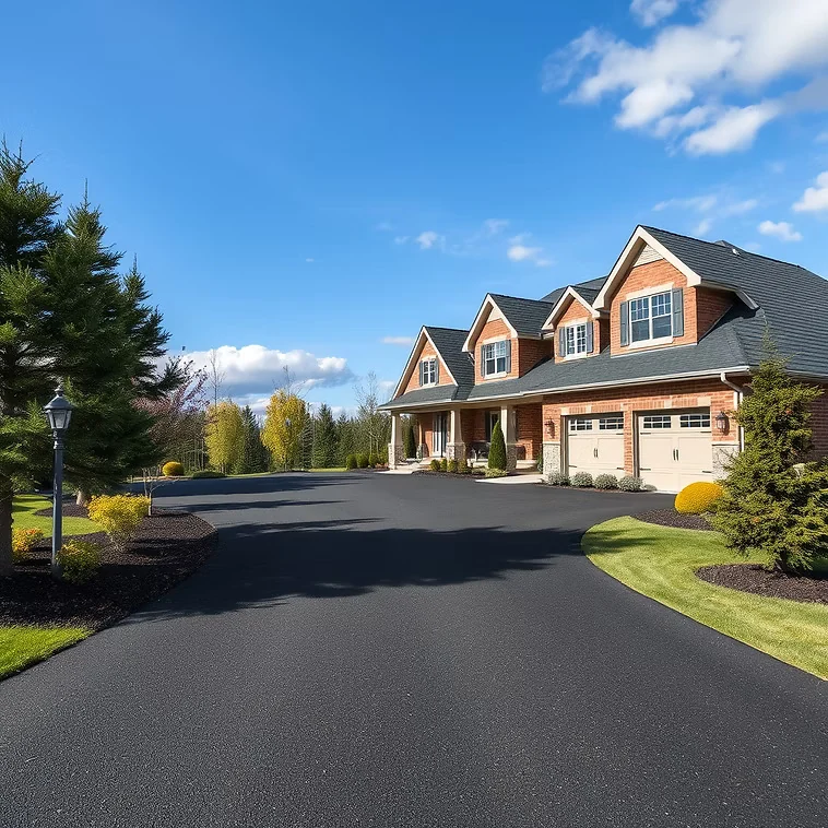
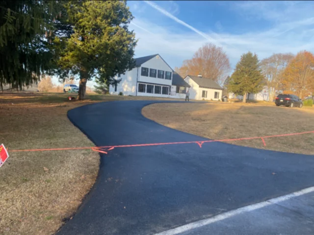
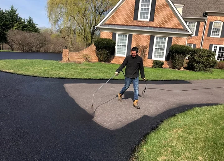
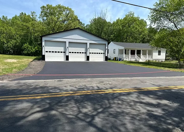
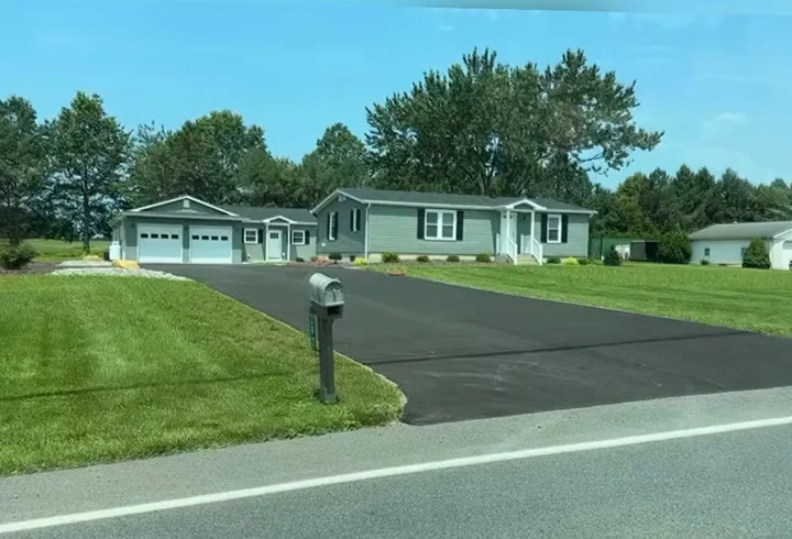
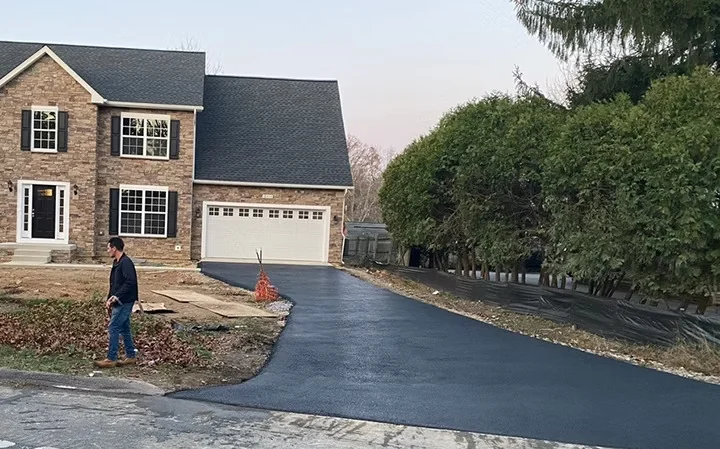
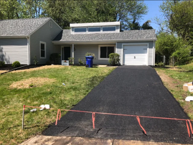
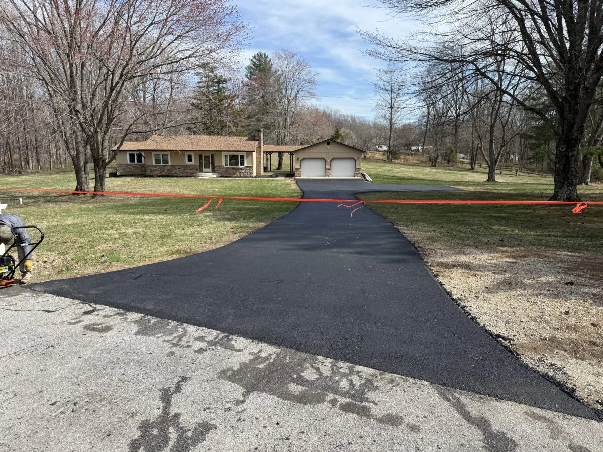
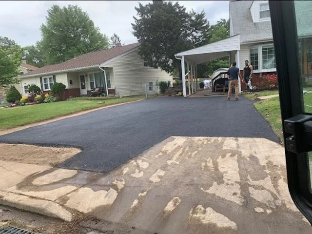
Recent South State driveways
We also work in
Tracys Landing paving FAQs
What does the USDA soil survey say about the ground in Tracys Landing?
The USDA soil survey maps the 20779 ZIP code mostly as Marr and Dodon, and for local roads and streets it cites frost action, depth to saturated zone, slope, flooding and ponding as limitations.
How far is Tracys Landing from South State Paving?
South State Paving is based in Deale. Using Census coordinates, the 20779 ZIP code is about 2.6 miles from its Deale address in a straight line.
Do I need a permit for a driveway in Tracys Landing?
It depends on the road it meets. The Maryland State Highway Administration requires a residential entrance permit for a driveway onto a state highway. For a county or town road, the Anne Arundel County Department of Public Works is the office to ask; the link is on this page.
Is Tracys Landing in a FEMA flood zone?
FEMA's flood map puts 2 of the 21 land points sampled in the 20779 ZIP code (10%) in a Special Flood Hazard Area, the zone with a 1% annual chance of flooding. By zone: zone X (19), zone A (1) and zone AE (1).